top of page
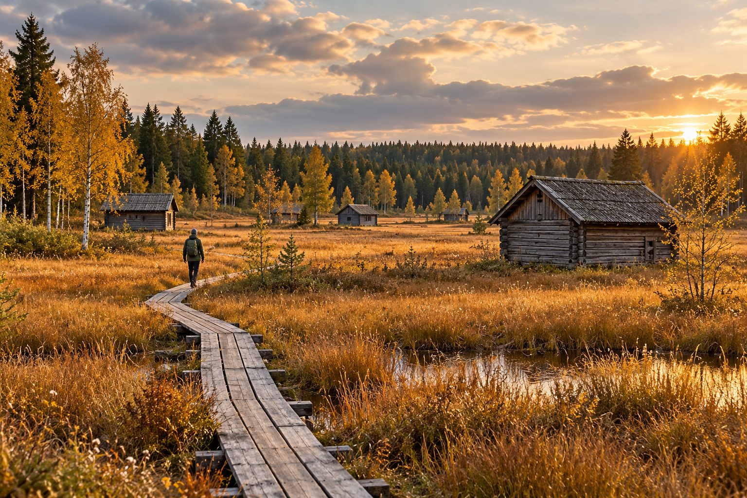
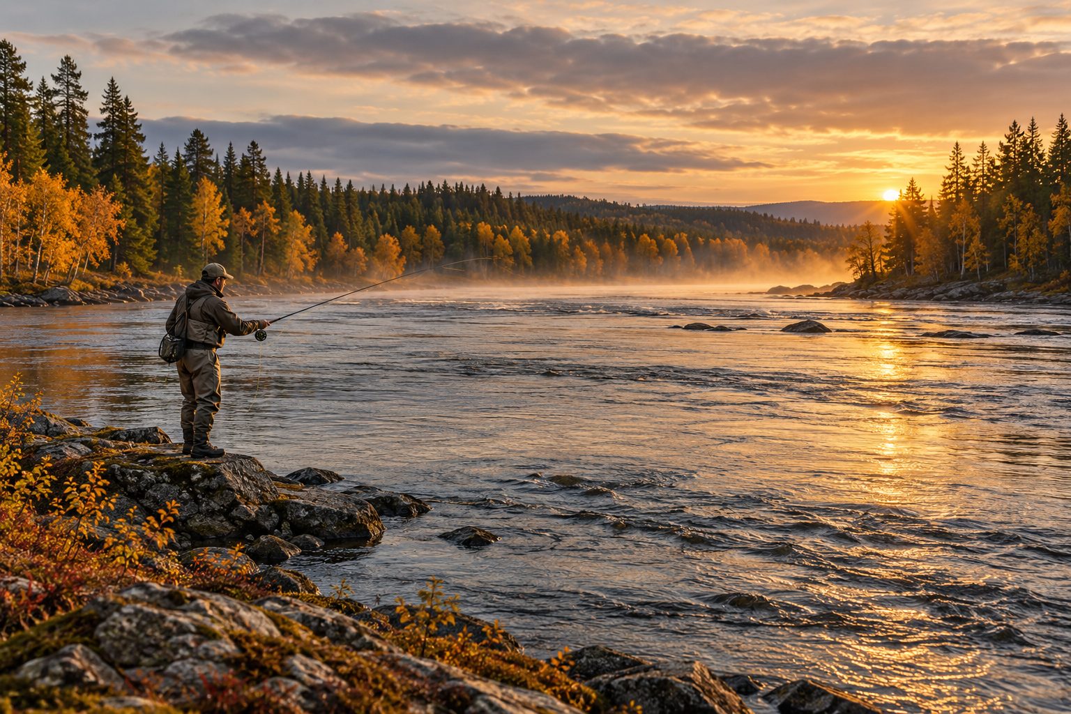
AI-generated autumn atmosphere beside a northern river; no specific fishing location

GPS guide

Discover Pajala, Gällivare & Lovikka

Your local guide to nature experiences, fishing waters, views, hiking trails and hidden gems – all year round.

Before you go · permits, maps & safety

Buy a permit for the correct water, stretch and bank. Species listed occur in the area; they do not mean fishing for them is open today. Check opening dates, methods and catch rules with the manager. River flow and ice conditions need local assessment.

Map location is not fishing permission. Pins come from Naturkartan or ArcticStay’s existing Lovikka map and may mark an area rather than parking. Confirm the bank, approach and permission before you leave.

Times are ArcticStay’s suggested visit durations; add travel unless stated otherwise. Method suggestions are not fishing regulations. Information checked 7 October 2026; always read the manager’s latest information.

Lovikka & Pajala · fishing

Illustration of big-river fishing in a northern autumn landscape

01 · Our fishing base

Lovikka · Torne River

Torne River fishing, autumn light and sauna evenings, based at ArcticStay.

Navigate ↗
Read more

Fish in the area

  • Salmon
  • Grayling
  • Trout
  • Pike

Start in Lovikka if you want to stay close to the Torne River and give river fishing time. The village sits on a large, free-flowing salmon river that also holds grayling, trout and pike. Currents and quieter water offer different options; choose your stretch for the conditions and your experience. These are river-system species, not a promise of a catch or an open fishery.

Best for
River fishing · fly or spinning where permitted
Difficulty / access
Moderate–demanding · confirm bank access first
Time to allow
Half day–full day · consider several fishing days
Period
Check this year’s opening dates and species restrictions locally
Fishing permit
Separate fishing permission for the exact water and bank. Lovikka skifteslag is among the river’s managers; confirm the current permit seller.

Reaching the area: Navigate points to Lovikka village, not an authorised fishing spot or car park. First confirm the fishing stretch, approach and permit with the rights holder. Fiskekartan helps you find managers; the link does not sell a verified Lovikka permit.

Why start here?

Lovikka lets you spend time beside the Torne River rather than begin every fishing day with a long drive. The big river’s currents and quieter stretches call for different approaches. Salmon, grayling, trout and pike occur in the river system; their presence does not tell you which species you may target today.

Plan your first fishing day

Start from ArcticStay in Lovikka and confirm a particular bank, approach and fishing rights holder before leaving. Then choose fly or spinning tackle according to that stretch’s rules and the water conditions. Give one confirmed water half a day rather than chase several map pins.

Our local fly advice

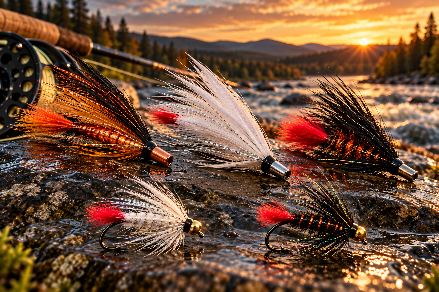
Pack salmon tubes in copper/copper-orange, black/black-orange and white/white-silver, in several sizes. Start larger and more visible in higher, colder or darker water; try smaller flies in lower, warmer or clearer water. For grayling we prefer Black Zulu and White Zulu, size 12 on double hooks: we like how they fish in the current and often target somewhat larger grayling. This is local advice, never a catch guarantee or a fishing rule.

Accommodation and permission are separate

Lovikka skifteslag is listed among the Torne River system’s managers in the 2025 Salmon Report. That does not verify today’s permit seller or a specific fishing spot. Eskos near the river, with a wood-fired sauna by the water, and Lovikka Village House / Ikan Paikka are ArcticStay bases for your trip. Staying here gives no fishing rights.

ArcticStay’s tip

Plan from your ArcticStay accommodation in Lovikka. Ask us before arrival for local orientation, then confirm fishing rights with the manager. A Torne River or border-river permit does not automatically cover this water.

Map location: Lovikka village · confirm access separately

Visit Pajala · Salmon Report 2025 · Länsstyrelsen · Map source
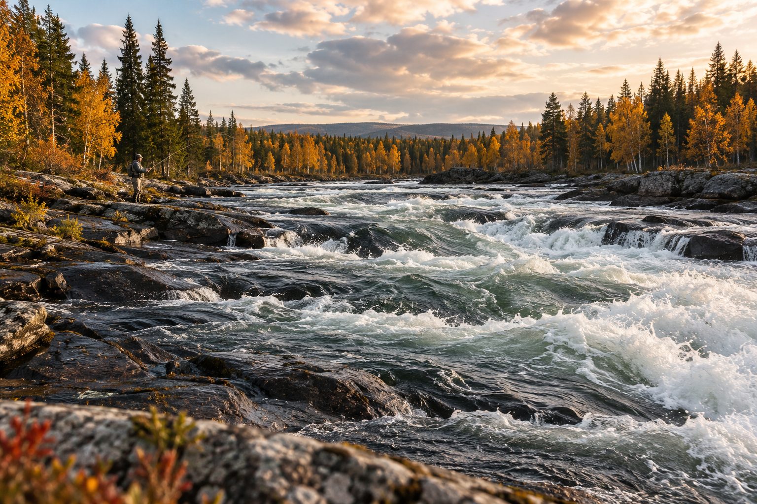
Illustration of fly fishing beside powerful northern river rapids

Pajala

Kengis Bruk · Torneälven

Powerful rapids and booked salmon fly fishing on the Torne River.

Navigate ↗
Read more

Fish in the area

  • Salmon

Kengisforsen is a clear choice for seeing the Torne River’s salmon water. Kengis Bruk’s private fly-fishing beats require booked access; its standard offer is a weekly package. Confirm any standalone fishing day directly with the operator.

Best for
Fly fishing · experienced salmon anglers
Difficulty / access
Demanding river fishing · advance booking
Time to allow
Full day only if separate access is confirmed
Fishing permit
Fishing booked with Kengis Bruk

Reaching the area: The map pin is the public riverside rest area at Kengisforsen. For booked fishing, follow the operator’s arrival instructions.

Big river, rapids and history

Kengisforsen concentrates the Torne River’s power into a long stretch of rapids. The public rest area is worth visiting without a fishing booking; the setting also connects with Kengis’s historic ironworks. For anglers this is private fly-fishing water, not a bank covered by any general permit.

Fishing character

The operator describes salmon fly fishing with different lines and sinking tips for changing water levels, and grayling as an option with single-handed tackle. Confirm which beats and methods your booking covers. The operator states catch-and-release; read the current conditions before fishing.

Plan from ArcticStay

Keep Pajala or Lovikka as your base. Ask specifically whether a standalone fishing day is available without an accommodation package. Unless access is confirmed, the rest area is an excursion, not a way into private fishing. Keep clear of strong currents and wet rocks.

ArcticStay’s tip

Keep ArcticStay in Pajala or Lovikka as your base. Confirm whether fishing without an accommodation package is available before planning the day. The rest area gives no fishing rights.

Map location: area / destination · read the approach above

Kengis Bruk · Naturkartan · Map source

Illustration of a wide northern river with a quiet pool and flowing shallows

Pajala

Junosuando · Torne & Tärendö rivers

Choose the Torne’s big-river water or the Tärendö’s currents.

Navigate ↗
Read more

Fish in the area

  • Salmon
  • Grayling
  • Trout

A useful base for exploring different river stretches in one trip. The Tärendö River’s fast water and sometimes steep banks suit anglers with river experience.

Best for
Fly fishing / spinning · river experience
Difficulty / access
Moderate–demanding · varies by stretch
Time to allow
Half–full day
Fishing permit
Junosuando FVO · correct river stretch

Reaching the area: The pin marks the management area, not parking. Use the association’s map to choose your bank and access point.

Choose your river before leaving

Junosuando FVO includes different types of water. The Torne River offers big-river fishing; the association describes the Tärendö River as deep and fast, with difficult banks in places. Salmon, grayling and trout make the area interesting, but bank access and permit boundaries decide today’s choice.

One stretch is enough

Start from Lovikka or Pajala, choose one water on the FVO map and confirm a suitable approach with the association. Allow time for walking the bank as well as fishing. Strong Tärendö currents are not a reason to wade deeper to reach fish.

River permits and lake fisheries differ

The association distinguishes its natural waters from special lake fisheries. Its current notice closes Piilojärvi from 1 October 2026 until the ice-fishing opening in March 2027. Check today’s notice and the exact permit before changing water.

ArcticStay’s tip

Piilojärvi is separately closed until its ice-fishing opening in March 2027. Plan around the river stretches and check current rules.

Map location: area / destination · read the approach above

iFiske · FVO · Map source

Illustration of fly fishing beside a forest-lined northern river

Pajala

Lainio River · Oksajärvi FVO

Lainio River rapids and quieter pools for a full fishing day.

Navigate ↗
Read more

Fish in the area

  • Salmon
  • Grayling
  • Whitefish

Choose the Lainio River when you can dedicate a full day to wild river water. Oksajärvi FVO describes seven kilometres on the southern bank; access differs between rapids.

Best for
Fly fishing · experienced river anglers
Difficulty / access
Moderate–remote · uneven ground
Time to allow
Full day
Fishing permit
Oksajärvi FVO · check boundaries

Reaching the area: The pin marks the river area. The association describes Väkkäräkoski as easier to fish than Taanikurkkio; confirm the approach before leaving.

Varied Lainio water

The FVO describes seven kilometres of the Lainio River’s southern bank, much of it rapids and flowing water. Deeper sections offer salmon character, while grayling and whitefish provide other possibilities. The permit area’s lakes are separate waters; their trout and char should not be confused with river fishing.

Rapids or quieter water?

Taanikurkkio is described as a canyon with difficult fishing access. Väkkäräkoski is easier to fish, which does not establish easy parking or a verified approach. The association also describes whitefish rising in quieter sections on summer evenings, with flies or small spinners as options where current rules allow.

Make it a full day

From ArcticStay in Lovikka or Pajala, choose one stretch, check the southern-bank permit boundaries and confirm the approach before travelling. Pack lunch and save the map. The pin identifies the area; it gives neither access across private land nor rights on the opposite bank.

ArcticStay’s tip

Choose one stretch for the day. The permit’s bank boundary matters more than the position of the map pin.

Map location: area / destination · read the approach above

iFiske · FVO · Map source

Gällivare · fishing

Illustration of light fly tackle beside a clear northern river current

Gällivare / nearby

Kaitum River · lower river

Grayling, trout and moving water for your main river outing.

Navigate ↗
Read more

Fish in the area

  • Grayling
  • Trout
  • Salmon in the lower river

One of this guide’s strongest choices for grayling and trout in moving water. The lower Kaitum River also holds salmon. Choose your stretch to match your experience and water levels.

Best for
Fly fishing · moving-water experience
Difficulty / access
Moderate–demanding · banks vary
Time to allow
Full day
Fishing permit
Different permits by stretch and bank

Reaching the area: The pin marks the lower river area, not parking. The municipal guide distinguishes Gällivarekortet, Girjas and private stretches.

Make river fishing the main outing

Choose Kaitum when grayling and trout in moving water are the day’s main plan; salmon also occur in the lower river. The municipality highlights rapid changes in water level. Assess the bank and current when you arrive and let conditions decide how much water you attempt to fish.

One river, several managers

Gällivarekortet, Girjas and local associations including Killinge and Neitisuando cover different stretches and banks. The municipal overview describes the boundaries. Choose an exact stretch and check today’s map and rules before buying; one permit does not automatically cover the whole river.

Plan from Gällivare

Use ArcticStay Gällivare/Repisvaara for a full-day outing. Check the approach and water conditions before leaving, save the map and allow time to return. Change your plan rather than wade a current that feels unsafe. The pin marks a river area, not a verified car park.

ArcticStay’s tip

Choose the exact bank before buying a permit. A permit for one side of the river does not automatically cover the other.

Map location: area / destination · read the approach above

Naturkartan · Map source

Illustration of family fishing from a pier beside a northern forest lake

Gällivare / nearby

Nuolajärvi · near Gällivare

Lakeside fishing and a walk, close to Gällivare.

Navigate ↗
Read more

Fish in the area

  • Rainbow trout
  • Trout
  • Perch

The easy choice for fishing close to town without a long expedition. This recreation area by the E10 has fishing spots, piers and parking on both sides of the lake.

Best for
Short session · families / spinning
Difficulty / access
Easy · some accessible spots
Time to allow
2–3 hours
Period
Summer after the annual opening · check dates
Fishing permit
Nuolajärvi’s own fishing permit

Reaching the area: Close to central Gällivare by the E10. The pin marks the recreation area; follow local parking signs.

Fishing and a walk close to your base

Nuolajärvi combines rainbow trout, trout and perch fishing with a recreation area near Gällivare. It suits a short session or a family in which not everyone wants to fish. The circuit around the lake is about three kilometres.

Accessibility varies around the lake

About half the circuit is adapted for wheelchairs and pushchairs; other sections use forest paths and boardwalks. Parking is available on the north and south sides. There are seating areas and fireplaces, with toilets listed for summer. Confirm the right starting point if accessibility matters.

Check the opening and separate permit

Nuolajärvi has its own fishing permit and rules. Read this year’s opening notice and current Gällivare FVO conditions before packing your rod. From ArcticStay Gällivare/Repisvaara, choose it when you want to keep the rest of your day free.

ArcticStay’s tip

Nuolajärvi has its own permit. Do not buy a general Gällivare permit and assume it covers this lake.

Map location: area / destination · read the approach above

Naturkartan · iFiske · FVO · Map source

Illustration of a quiet northern fishing lake with autumn birches and a pier

Gällivare / nearby

Marsijärvi · Soutujärvi FVO

Trout, char and a quiet forest lake without a long hike.

Navigate ↗
Read more

Fish in the area

  • Trout
  • Arctic char

Trout and Arctic char in a lake reachable by car. A useful balance between straightforward access and the feeling of fishing out in the forest.

Best for
Lake fishing · a quiet half day
Difficulty / access
Easy · road access, piers
Time to allow
Half day
Period
Summer and winter · current conditions apply
Fishing permit
Soutujärvi FVO

Reaching the area: About 5 km from the E10 towards Nilivaara. Naturkartan describes a signed turn between Skaulo and Puoltikasvaara.

Lake fishing without a long hike

Marsijärvi in the Soutujärvi area offers trout and char when you want a change from big rivers. The FVO describes road access, a rest shelter, wind shelters and fishing piers. Paths around the lake also give companions without rods something to enjoy.

Choose a spot for your group

Parts of the recreation area and some facilities are adapted for accessibility; do not assume the whole circuit is. Follow the signed E10 turn between Skaulo and Puoltikasvaara towards Nilivaara. Confirm the chosen pier with the association if easy access is essential.

Summer and winter need different plans

The lake is described as a summer and winter fishery, but openings, methods and catch rules belong in Soutujärvi FVO’s current conditions. Winter fishing requires a separate ice assessment; a permit page does not certify safe ice. Plan a half day from ArcticStay Gällivare.

ArcticStay’s tip

A good option when the rivers feel too big for today’s plan. For winter fishing, ask locally about ice conditions before venturing out.

Map location: area / destination · read the approach above

iFiske · FVO · Naturkartan · Map source

Illustration of light fishing from a birch-lined northern lakeshore

Gällivare / nearby

Puoltikasjärvi · Soutujärvi FVO

An easy-to-plan lake option with char, grayling and perch.

Navigate ↗
Read more

Fish in the area

  • Arctic char
  • Grayling
  • Perch

A lake close to the E10 with several species and an accessible pier. Choose it when straightforward logistics matter more than a long wilderness approach.

Best for
Lake fishing · easy access
Difficulty / access
Easy · short road from the E10
Time to allow
Half day
Fishing permit
Soutujärvi FVO

Reaching the area: The association describes road access a few hundred metres from the E10, with a shelter and accessible pier.

Grayling in a lake, not only rivers

Puoltikasjärvi offers lake fishing for char, grayling and perch. It is a different day from Kaitum’s currents: proximity to the E10 and a pier make logistics simpler. Choose it for a quiet session, not a promise of large fish.

A short approach and useful facilities

Soutujärvi FVO describes road access a few hundred metres from the E10, a rest shelter and an adapted fishing pier. Check current facility and approach conditions if needed. The same association manages Marsijärvi, but the lakes have different species and characteristics.

Read the conditions for your day

Check Soutujärvi FVO’s current permit and rules specifically for Puoltikasjärvi. Summer and winter fishing are described; winter also requires local advice and a separate assessment of ice conditions. Start from ArcticStay Gällivare/Repisvaara and allow time for a lakeside break.

ArcticStay’s tip

Compare it with Marsijärvi before leaving. The same association manages both, but the lakes offer different fishing.

Map location: area / destination · read the approach above

iFiske · FVO · Naturkartan · Map source

Illustration of a secluded clear forest lake with light fishing tackle

Gällivare / nearby

Upper Suolasjöarna · Suolajávrit

Two spring-fed lakes and a forest walk away from everyday life.

Navigate ↗
Read more

Fish in the area

  • Trout
  • Arctic char

Two small forest lakes for anglers happy to walk the final stretch. Trout and Arctic char are stocked in the first, upper lake; an alternative to roadside fishing platforms with a more secluded setting.

Best for
Lake fishing · anglers happy to walk
Difficulty / access
Moderate · forest road and walk
Time to allow
Half–full day
Fishing permit
Gällivare FVO · not Gällivarekortet

Reaching the area: Via Sikträskvägen and a rough forest road to a turning area, then about 1 km to the first lake. The pin marks the lakes, not the road entrance.

Two lakes with different character

Suolasjöarna are small spring-fed lakes above Sikträsk. The FVO stocks trout and char in the first, upper lake; the lower lake is described mainly as whitefish water. Choose a lake for your day rather than treat both as the same fishery.

The walk is part of the outing

A forestry road leaves Sikträskvägen; the association describes it as being in poor condition. The first lake then requires about a kilometre on foot. Check the road before travelling, pack for walking and save the map offline. The lake pin is not a verified car park.

The right association and water

These are Gällivare FVO waters, not automatically covered by the state’s Gällivarekortet. Read the association’s map and current rules, including tackle and retention conditions. Allow half a day or more from ArcticStay Gällivare, with time for the walk and fishing.

ArcticStay’s tip

Allow for the walk and check the forest road’s condition. Save the map before leaving mobile coverage.

Map location: area / destination · read the approach above

iFiske · FVO · Naturkartan · Map source

ArcticStay · Lovikka

Fly fishing: choose your river

Salmon · Tube flies in copper, black and white.

Grayling · Black Zulu / White Zulu, size 12, double hook.

Read more about flies & rules

Flies for the rivers

Conditions change quickly on the rivers of Tornedalen. Water level, temperature, light and weather influence fly choice. Start with colour and size, then adapt to the river on the day.

Salmon · tube flies

Colour and size often matter more than the pattern’s name. Carry a few tube flies in clearly different colours and sizes so you can quickly adapt to the water, light and weather.

Copper / copper-orange · Black / black-orange · White / white-silver

Higher, colder or darker water: a larger, more visible tube fly can be a useful starting point. Lower, warmer or clearer water: try smaller, more subtle flies. These are starting points, not a guaranteed formula – let the conditions on the day guide you.

Grayling – ArcticStay’s local tip

Black Zulu · size 12 · double hook · White Zulu · size 12 · double hook

Our local preference is Black Zulu and White Zulu in size 12 on a double hook. We like how they fish and move in the current, and we are generally targeting somewhat larger grayling. This is ArcticStay’s practical preference, not an official fishing rule. Dry flies and nymphs can also work well when insect activity and conditions suit them.

ArcticStay local tip · Lovikka

For fishing days around Lovikka, we like to pack salmon tubes in copper, black and white in a couple of sizes, plus Black Zulu and White Zulu in size 12 on double hooks for grayling. Adapt your choice to the water. This is our local packing advice, with no promise of a catch.

Fishing permission and current rules

Fly choice is fishing advice. Separately check that your permission covers the water, stretch and method you intend to fish today. Use the destination links for permits and current rules before fishing.

Torne River · start in Lovikka

Plan from ArcticStay in Lovikka and first confirm the permitted stretch, bank and fishing permission. For a bookable fly-fishing option farther downstream, read the Kengis card and check whether fishing can be arranged separately from accommodation. The operator recommends a single-handed rod for grayling and interchangeable line tips for different depths when salmon fishing.

Kengis →

Lainio River · Oksajärvi FVO

An option for experienced river anglers looking for grayling and salmon waters. The Oksajärvi permit covers 7 km on the southern bank. Väkkäräkoski is described as easier to fish than the hard-to-reach Taanikurkkio canyon; this does not mean easy or unrestricted access. Confirm boundaries and the approach before leaving.

Lainioälven / Oksajärvi →

Local advice on salmon flies · Kengis Bruk

Three larger salmon tube flies, a White Zulu and a Black Zulu with a red tail beside a river at sunset

Worth the trip

Illustration of a northern haymaking mire with timber barns and a boardwalk

Pajala

Vasikkavuoma

Hay barns, birdlife and boardwalks across Tornedalen’s historic haymaking mire.

Navigate ↗
Read more

An open haymaking mire, traditional barns and boardwalks. A quiet contrast to the rapids and an easy way to experience northern Tornedalen.

Difficulty / access
Easy · boardwalk trail
Time to allow
1–2 hours

Reaching the area: Signed from road 395 at Erkheikki. The pin marks the reserve; follow the signs to parking.

Tornedalen’s working landscape

Around eighty hay barns remain on a mire harvested for more than two hundred years. The open landscape tells the story of winter fodder that sustained the villages’ livestock. Plants and birdlife also reward a slow walk and a pair of binoculars.

A quiet outing from Pajala

The reserve has parking, boardwalks, a rest shelter, an outhouse and designated fireplaces. Boardwalks are partly adapted, but the whole area does not meet every wheelchair-access standard. Choose a shorter route if mobility or surfaces require it, and watch for slippery boards.

Let the season set the pace

Spring birds, summer greenery and autumn barns offer different experiences. The managing association often prepares ski tracks in winter; check current conditions before planning a ski outing. One or two hours make a quiet break from fishing, based at ArcticStay Pajala or Lovikka.

ArcticStay’s tip

Take your time. The barns and open landscape are the experience.

Map location: area / destination · read the approach above

Länsstyrelsen · Map source
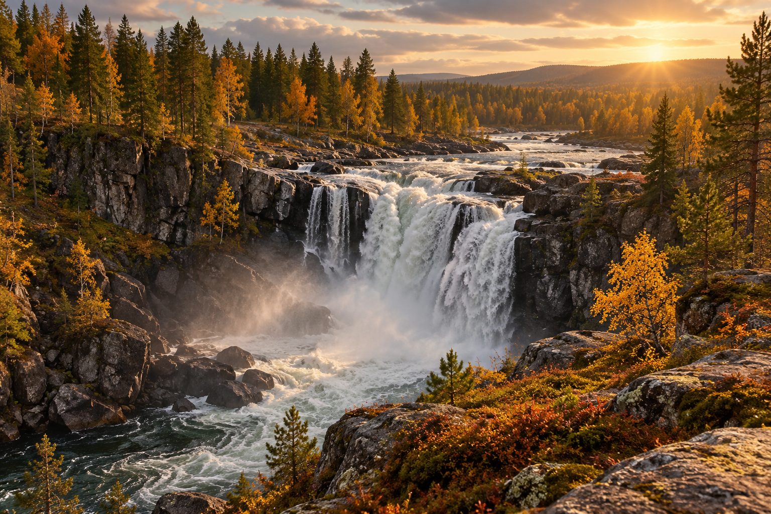
Illustration of a walk to a grassy northern forest hilltop

Pajala

Jupukka · Struve Geodetic Arc

A short uphill walk to wide views and Struve’s World Heritage story.

Navigate ↗
Read more

A short uphill walk to a viewpoint and a station of the UNESCO-listed Struve Geodetic Arc. A rewarding choice for a morning away from fishing.

Difficulty / access
Moderate · about 900 m uphill
Time to allow
2–3 hours

Reaching the area: Parking is reached from road 99. The pin marks the reserve; follow the marked trail to the summit.

A view with a story

Jupukka’s grassy summit holds a station of the Struve Geodetic Arc, the World Heritage survey that helped measure the Earth’s shape in the nineteenth century. The hill reaches 277 metres above sea level; that is not the walk’s ascent. Its grassland reflects centuries of sheep grazing.

A short walk with a climb

The marked path from parking is about 900 metres to the summit, where there is a rest shelter and fireplace. Follow signs from road 99 at Erkheikki and allow time for the climb. Ice, rain or snow require more margin than a dry summer day.

Respect the reserve

Fires are allowed at designated places. Camping and snowmobiling are prohibited under the reserve rules. Enjoy a quiet half day from ArcticStay Pajala or Lovikka, with lunch and supportive footwear.

ArcticStay’s tip

Wear supportive shoes and allow time for the climb. The view is better when you are not rushing.

Map location: area / destination · read the approach above

Länsstyrelsen · Naturkartan · Map source

Illustration of a winter outing on a rounded northern fell

Gällivare / nearby

Dundret

Open fell, walking and winter outings close to Gällivare.

Navigate ↗
Read more

Mountain scenery close to Gällivare: open views, hiking and winter landscapes. Choose it when you want to trade the riverbank for height and a wide horizon.

Difficulty / access
Moderate · weather dependent
Time to allow
Half day

Reaching the area: The reserve has signed approaches from the E45. The pin marks the mountain area; check road status and your walk’s starting point.

Open fell close to Gällivare

Dundret reaches 820 metres above sea level, about five kilometres southwest of Gällivare. Open heath, mountain birch and long views offer a change from forest and river. Sarek and Kebnekaise can be visible in clear weather; the view depends on the day.

Choose one route, not the whole fell

There are marked walking and skiing routes, wind shelters and rest huts. A gravel path to a summit hut and a health trail are adapted for more visitors; do not assume other routes are. Check your starting point and current access, especially via Femmanvägen.

Summer walk or winter outing

Plan half a day from ArcticStay Gällivare/Repisvaara. Choose a route for weather, snow and experience, and check current winter-trail conditions. Bring extra layers and turn back if visibility deteriorates; proximity to town does not shelter the open fell.

ArcticStay’s tip

Turn back if the weather changes. A mountain outing needs a clear plan even this close to town.

Map location: area / destination · read the approach above

Länsstyrelsen · Map source
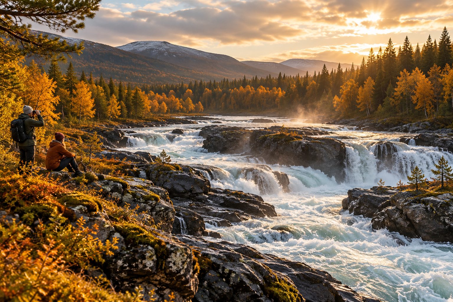
Illustration of a powerful waterfall in northern woodland

Gällivare / nearby

Linafallet · regional excursion

Watch the Lina River’s power from the waterfall viewing platform.

Navigate ↗
Read more

A 16-metre waterfall on the Gällivare–Överkalix boundary. Choose the viewing area for powerful water without a long hike.

Difficulty / access
Easy at the viewpoint · bridge closed
Time to allow
1–2 hours at the site

Reaching the area: Follow the destination’s directions to the viewing area. The footbridge is closed; do not plan to cross it.

River power as an outing

The Lina River meets Ängesån at a waterfall with about sixteen metres of drop near the Gällivare–Överkalix boundary. A viewing platform makes it worthwhile without a long hike. This is a regional excursion: add driving time to your time at the falls.

Choose your bank before travelling

Visitor information describes parking on both sides and an adapted viewing platform on the northern side. Follow current directions for your chosen side. The footbridge is explicitly closed because of poor condition; do not plan a circuit that requires crossing it.

A break from fishing

From ArcticStay Gällivare this can be the day’s nature outing, with one or two hours at the site. Stay on open paths and platforms, keep children close and avoid slippery rocks beside the current. This card describes a visitor attraction, not fishing rights.

ArcticStay’s tip

Stay on open paths and viewing areas. The bridge is not a shortcut while the closure remains in force.

Map location: area / destination · read the approach above

Visit Överkalix · Map source

Illustration of northern river rapids observed from a safe bank

Gällivare / nearby

Killingefallet · Kaitum River

Pause beside the Kaitum River’s rushing water.

Navigate ↗
Read more

Experience the Kaitum River’s rushing water without bringing a rod. Migrating salmon can sometimes be seen moving upstream; nature decides when.

Difficulty / access
Moderate · beside moving water
Time to allow
1–2 hours at the site

Reaching the area: The pin marks the falls. Check the destination’s directions for the current approach.

Experience Kaitum without a rod

Killingefallet offers a concentrated view of the Kaitum River’s rushing water. The municipal fishing guide notes that salmon can sometimes be seen moving upstream here. It is a chance to observe river life, not something that happens on demand or can be promised on a particular day.

Watch from safe ground

Bring binoculars and let water levels and safe observation spots guide the visit. Exact parking, walking access and accessibility are not sufficiently verified here; confirm the current approach locally before leaving. Do not seek a better view by stepping onto wet rocks.

An excursion is separate from fishing

Plan the stop as part of a Kaitum day from ArcticStay Gällivare/Repisvaara. To fish as well, first identify the exact stretch, bank and manager through the municipal guide. A map pin to the falls gives no fishing rights.

ArcticStay’s tip

Bring binoculars and watch from safe ground. This is an excursion, not permission to fish at the falls.

Map location: area / destination · read the approach above

Gällivare municipality · Map source

Illustration of a northern mountain lake with autumn birches and wide views

Gällivare / nearby

Naturum Laponia · Stora Sjöfallet

Mountain lakes, Sámi culture and a gateway to Laponia.

Navigate ↗
Read more

A long day trip into the UNESCO World Heritage area of Laponia, Sámi culture and the mountain scenery at Stora Sjöfallet. The visitor centre opens seasonally.

Difficulty / access
Easy around naturum · long drive
Time to allow
Full day including travel

Reaching the area: Take road 827 west from the E45, about 92 km to the area. From parking, walk roughly 300 m to naturum.

Understand the landscape before walking

Naturum on Viedásnjárgga beside Lake Láŋas introduces Laponia’s mountains, forests, mires and Sámi culture. It is a gateway to a World Heritage area with four national parks, two nature reserves and nine Sámi communities. The exhibitions also suit visitors who are not planning a long mountain hike.

Make this the day’s main journey

Start from ArcticStay Gällivare/Repisvaara and allow a full day, including the drive along road 827. The usual walk from parking to the building is about 300 metres; naturum says visitors with reduced mobility can drive to the entrance. Exhibitions and parts of the outdoor area are adapted for accessibility.

Check opening before leaving

Published 2026 opening hours end on 27 September. Do not plan an autumn or winter exhibition visit without a newly confirmed opening notice. Also check road conditions, weather and current visitor rules. A short nature trail in the snow-free season is a different undertaking from a national-park mountain hike.

ArcticStay’s tip

Check opening hours and weather before leaving. Make this your main outing for the day, not a quick stop after fishing.

Map location: area / destination · read the approach above

Naturum Laponia · Map source

bottom of page